
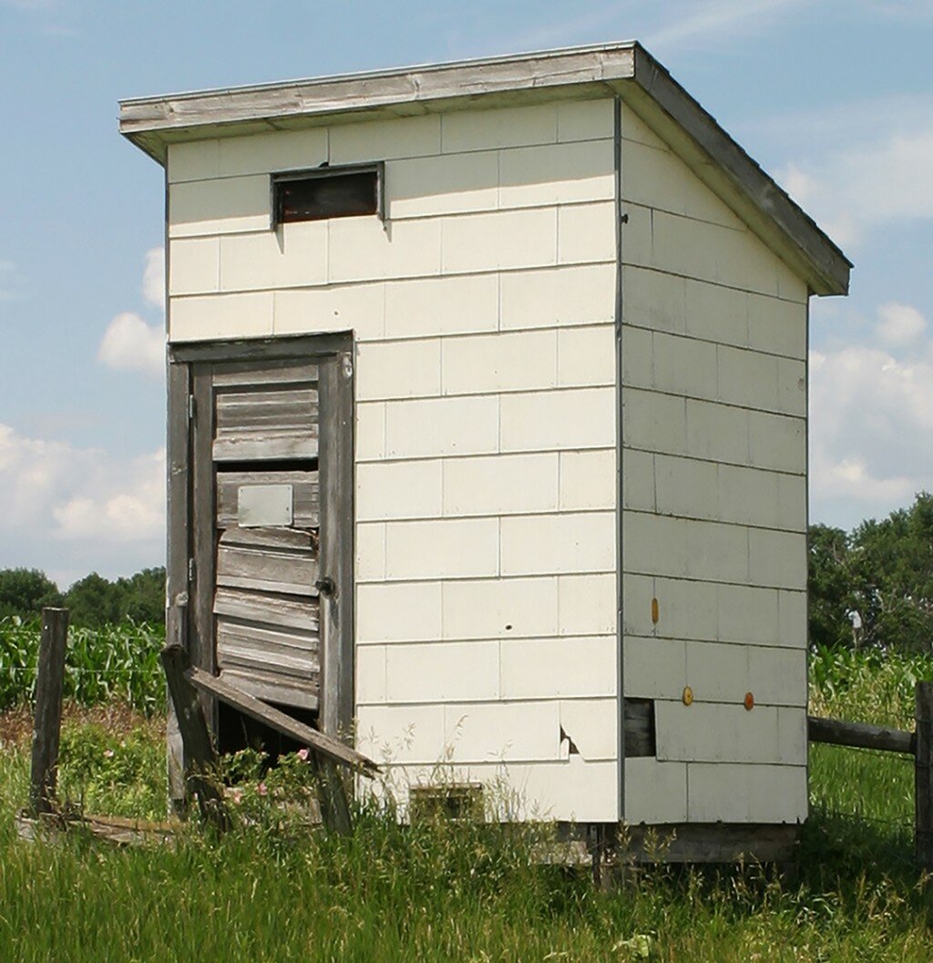
If you know where “Outhouse Corner” is – or even if you don’t – you’ll know what I’m talking about.
I grew up in the Rural Free Delivery days. It was a good system from its first year in 1898 to its last in 1991.
Then the post office dreamed up the rural avenue/street system in the 1990s and that left peaceful RFD farms sporting more digits than our trillion-dollar national debt.
Actually, in the early days, only rural mail carriers paid much attention to RFD addresses. Rural folks had a better way of telling strangers how to get from here to there.
“Go north on County Road 12 to the big slough, turn left on the gravel for about four miles past a little cemetery until you get to the big cottonwood tree by the bridge. Look to your right and you’ll see a silo. That’s us. The dog barks but won’t bite.”
Folks west of Volga often use a church as a navigational aid. They know exactly where a blue-roofed church was, because it’s long gone, but they still give directions starting from what once was an honest-to-goodness blue-roofed church.
Somewhere southeast of Lake Poinsett is a blue silo that is also a handy directional marker.
Moody County has a “kiss me quick” steep hill east of Flandreau.
I don’t know what avenue our county’s famously steep Stamp’s Hill is on, but it will get you in sight of the Deer Creek Station. I think Stamp’s Hill is the longest and steepest oiled road in the county.
Deer Creek Station is at 20615 484th Ave., but be careful. You could end up in North Dakota.
Many in the county know exactly where Hartwick Corner is, but there are many more who only know that you can buy firecrackers from a business located where the Highway 14 bypass connects up with Highway 14 west of Brookings.
Newspaper reporters now use the new numbering system. An open house at 58612 343rd St., or a car wreck at the intersection of 310th Street and 428th Avenue, doesn’t do it for me. I’m unable to conjure up a visual picture of just where all that is.
I’d rather read of an auction sale 3 miles north of Brookings, or a fender bender on the Toronto road a mile north of White, or something that happened halfway down Stamps Hill.
And then there’s always something happening at some Interstate mile marker or other, but who the heck knows where those things are? Forget about mile markers and just say 10 miles north of the Colman exit or the Ward road.
At one time in Brookings County, directions had a base point. All directions to anywhere started at Lloyd’s Standard Station at Sixth and Medary, the county’s unofficial epicenter.
So the directions would start with: “Go north (or whatever direction) from Lloyd’s for ....”
Now the rural street and avenue numbering system and GPS in every automobile have barged in and upset the whole darn applecart and our town’s historic epicenter.
I’ll admit the new address system is probably a valuable tool for ambulances, fire fighters, police officers and tax assessors.
But ask anyone where their childhood farm was located. The answer will include common sights, like valleys, windmills, cottonwoods, one-room schools, dilapidated barns, bridges, piles of field stones, red-roofed rural churches and barking dogs, not numbers.
By the way, Outhouse Corner is at the intersection of 459th Avenue and Highway14, 5 miles west of Volga. It’s not really an outhouse. It has something to do with telephone lines.
I’m not sure how far it is from that church with the blue roof that is no longer there.
If you’d like to comment, email the author at cfcecil@swiftel.net.


